
Ship Radar
Live vessels. Tides. Storm alerts. From your pin.
Ship Radar is the marine side of Sky Hub. You set a pin — a harbour, a coast, an anchorage — and a range in nautical miles. The map shows the vessels inside that circle: name, speed in knots, course, type, destination when the signal carries it. The same pin drives tides and storm alerts. It is not a global shipping wall. It is your circle.
Ship Radar lives in your account, next to Fly Radar. A paid plan is both. The pictures below are the real screens, not mock-ups.
Live vessels
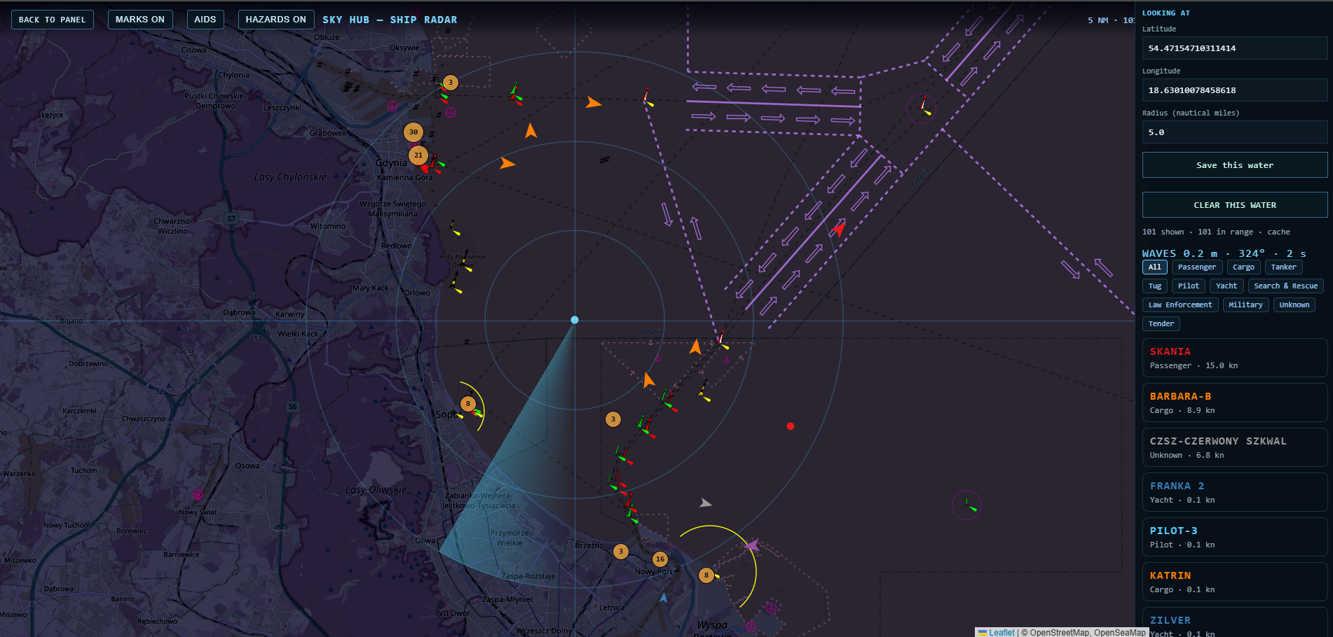
AIS positions on a dark chart. Marks, aids and hazards can sit on the same view. Speed is knots. Range is nautical miles. Filters split cargo, tanker, passenger, tug, pilot, yacht, search and rescue.
Tides
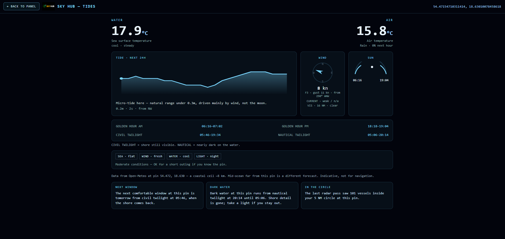
The next 24 hours at the pin: high and low water, wind in knots, current, visibility, sunrise and sunset, golden hour, civil and nautical twilight. Sea-surface and air temperature. A short line on whether the window is usable. Indicative. Not for navigation.
Storm alerts
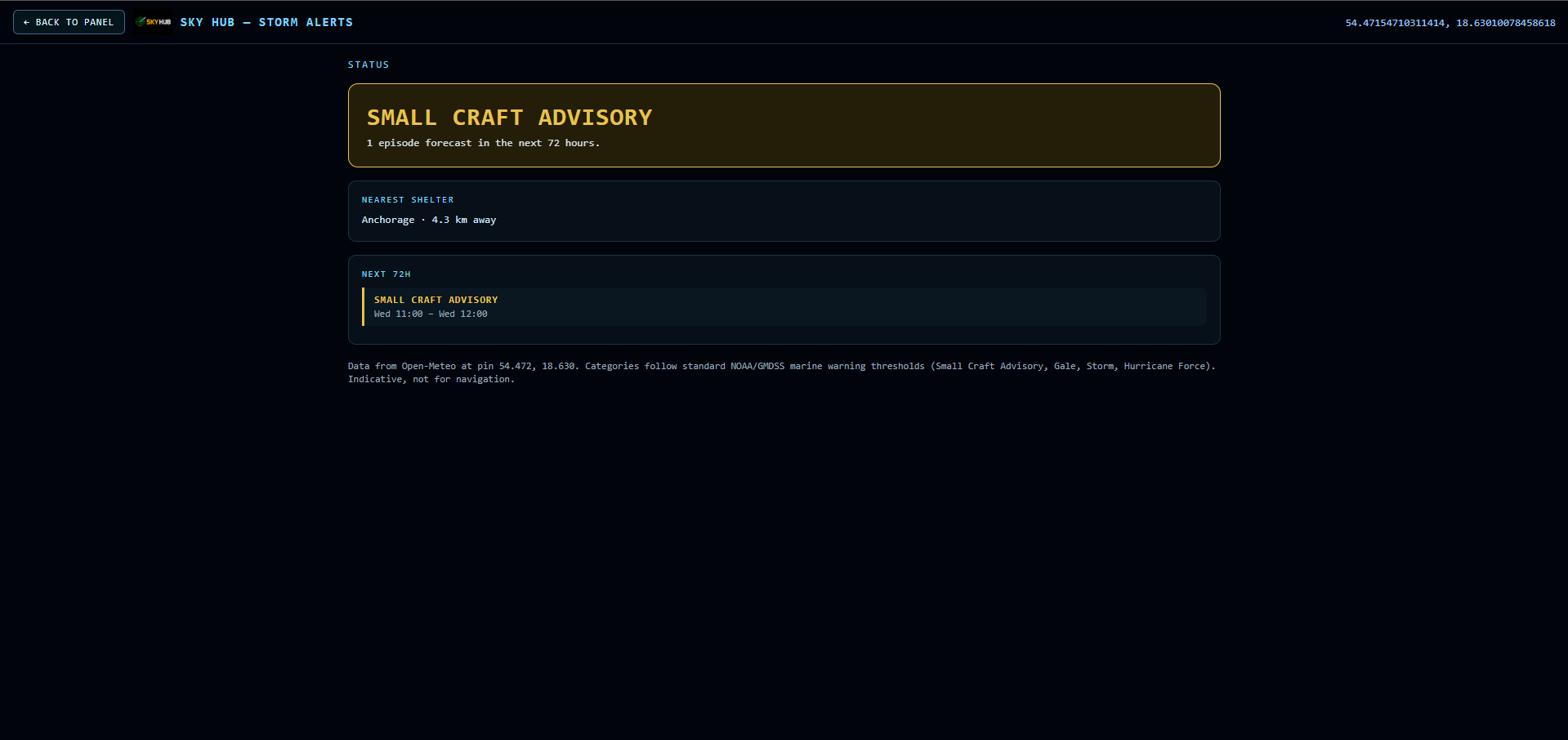
The next 72 hours against NOAA / GMDSS thresholds: Small Craft Advisory, Gale, Storm, Hurricane Force. Nearest shelter when the data has one. Same rule: indicative, not for navigation.
How you get it
Open an account. Set a pin. Ship Radar is in the plan with Fly Radar — aircraft, ISS, flights and weather on the sky side. Demo is one hour. Home, House and Workshop are paid. Train Radar and Bus Radar are not on sale. A LED wall display is a later module, not this page.
Questions: office@skyhubcloud.com.