
Ship Radar & Coast Explorer › Florida Keys, USA
Florida Keys boat ramps, marinas and dive centers around your pin
In short (October 2026): Coast Explorer shows boat ramps and launches, docks, marinas, dive centers, boat shops and boat rentals in the Florida Keys on one dark map around your pin. Click any place for its details, what’s nearby and the conditions at your pin. Between Key Largo, Key West and Florida Bay our map has 88 boat ramps and launches, 1,945 docks and piers, 57 marinas and 29 dive centers and dive sites. These are OpenStreetMap data, including private places.
Where are the public boat ramps in the Florida Keys?
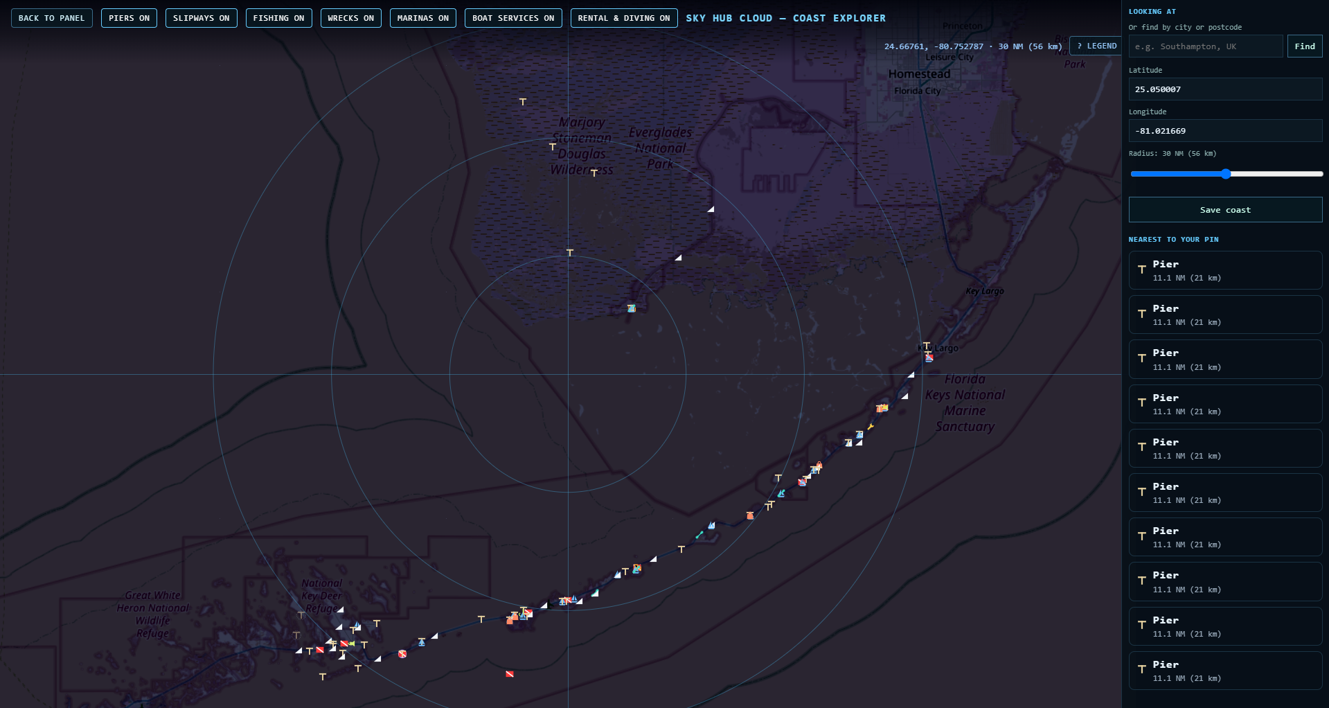
These boat ramps on our map have “public” or the city in their name:
| Area | Boat ramp |
|---|---|
| Key Largo | Sunset Point Park Public Boat Ramp |
| Tavernier | Tavernier – Jo-Jean Way Boat Ramp |
| Islamorada | Islamorada Founders Park and Public Boat Ramp |
| Islamorada | Islamorada – East Ridge Road Public Boat Ramp |
| Marathon | City of Marathon 33rd Street Boat Ramp |
| Marathon | North Marathon Shores Public Boat Ramp |
| Crawl Key (Mile Marker 54) | Crawl Key (Mile Marker 54) Public Boat Ramp |
| Lower Keys | Little Duck Key Wayside Park Public Boat Ramp |
| Lower Keys | Koehn Avenue Public Boat Ramp |
| Lower Keys | Little Torch Key Public Boat Ramp |
| Shark Key (Mile Marker 11) | Shark Key Wayside Park Public Boat Ramp (Mile Marker 11) |
| Key West | Key West City Marina at Garrison Bight |
Pay ramps are also on the map, for example Caribbean Club Pay Ramp in Key Largo and Coco Plum Yacht Club Pay Ramp in Marathon. Opening times and fees can change, so check with the ramp before you tow.
Key Largo: diving at John Pennekamp
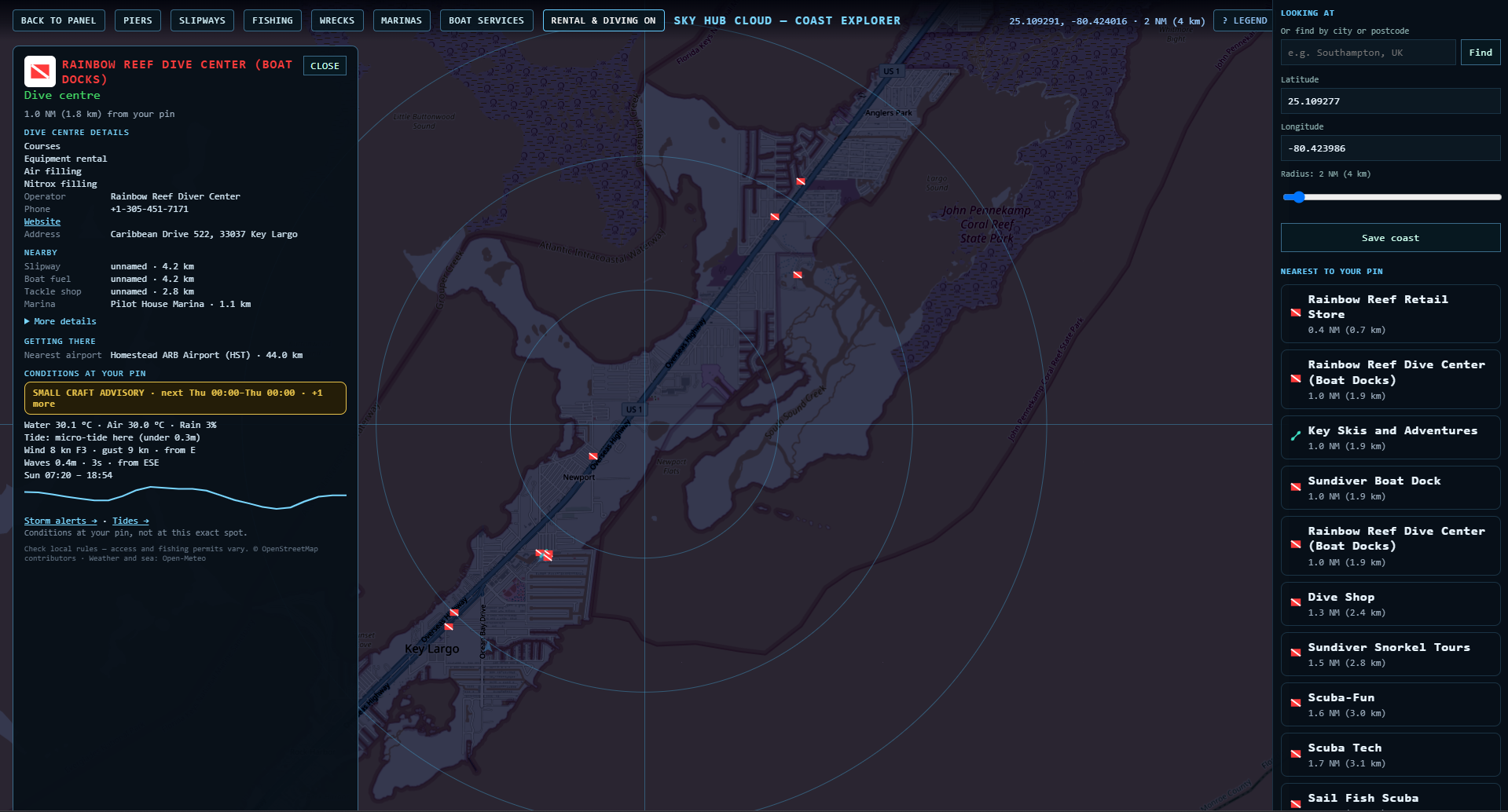
Around one pin in Key Largo our map lists more than ten dive places within about 3 km: Rainbow Reef Dive Center and its retail store, Sundiver Boat Dock and Sundiver Snorkel Tours, Scuba-Fun, Scuba Tech and Sail Fish Scuba. The dive sites Molasses Reef and the Spiegel Grove wreck are also on the map, as is John Pennekamp Coral Reef State Park with its boat ramp.
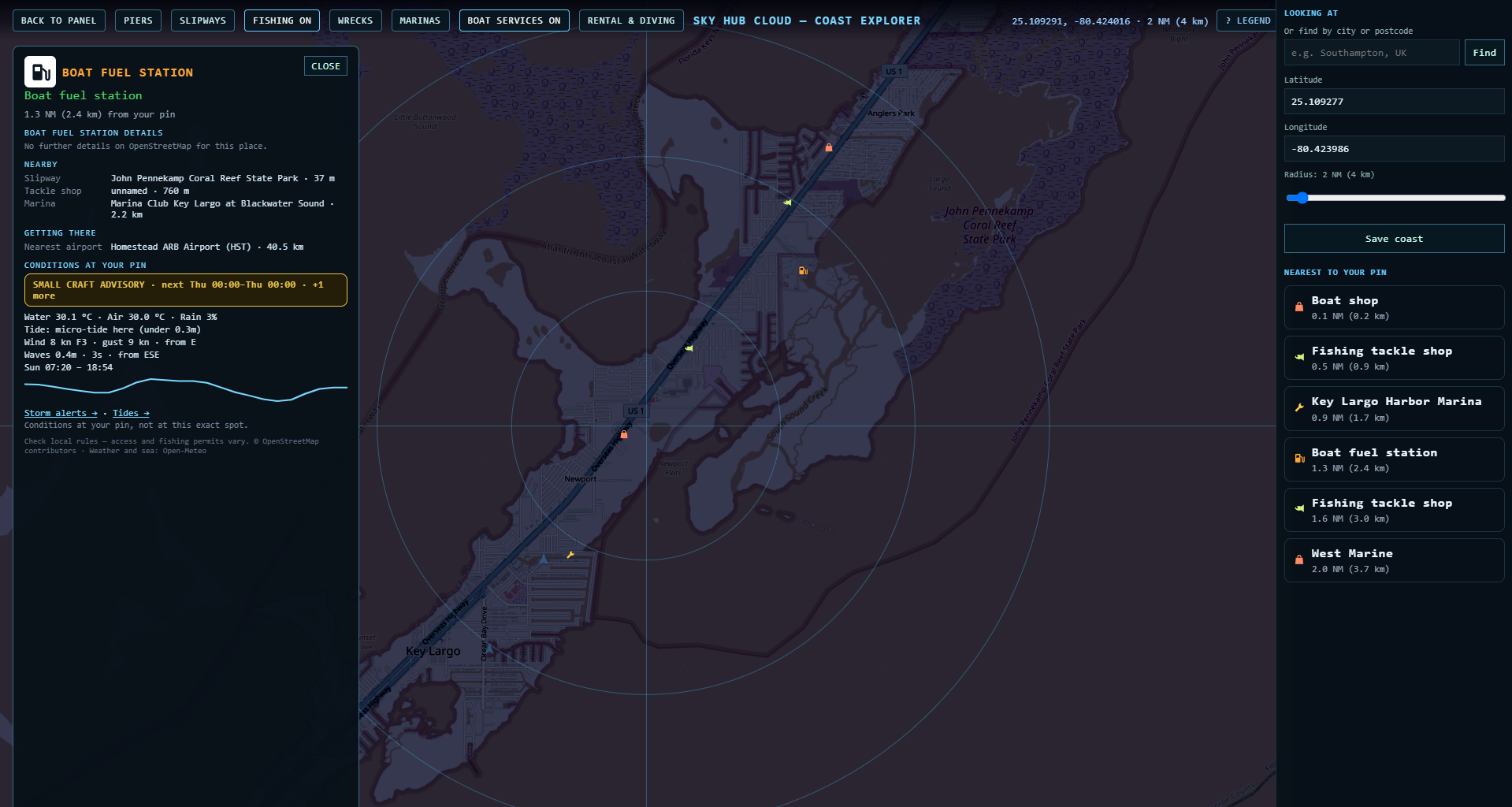
Key Largo: fuel dock, tackle and boat services
Where can I launch a kayak in Key Largo and Tavernier?
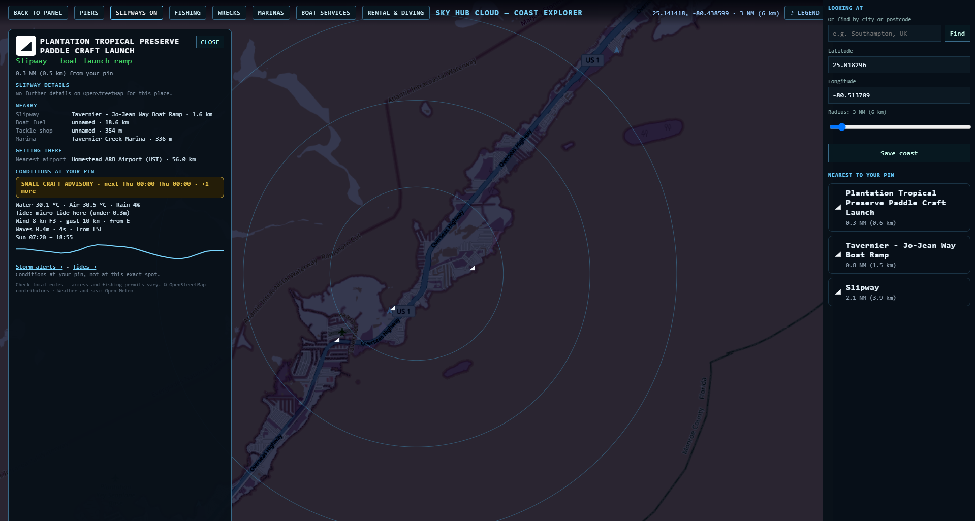
Our map shows Plantation Tropical Preserve Paddle Craft Launch in Tavernier and a canoe launch at Sunset Point Park in Key Largo.
Tavernier and Plantation Key: docks and marinas
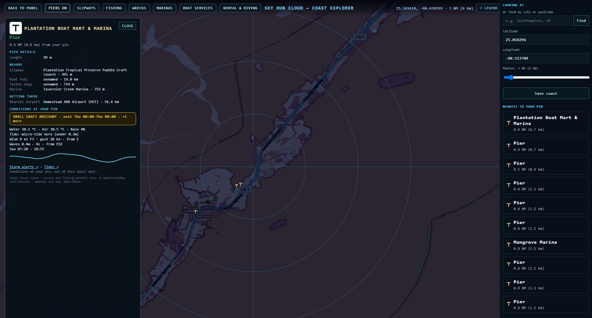
Islamorada: public boat ramps and marinas
Islamorada Founders Park and Public Boat Ramp and Islamorada – East Ridge Road Public Boat Ramp are on our map, with marinas such as Robbie’s, Whale Harbor Marina and Bud n’Mary’s Marina.
Marathon: Boot Key Harbor
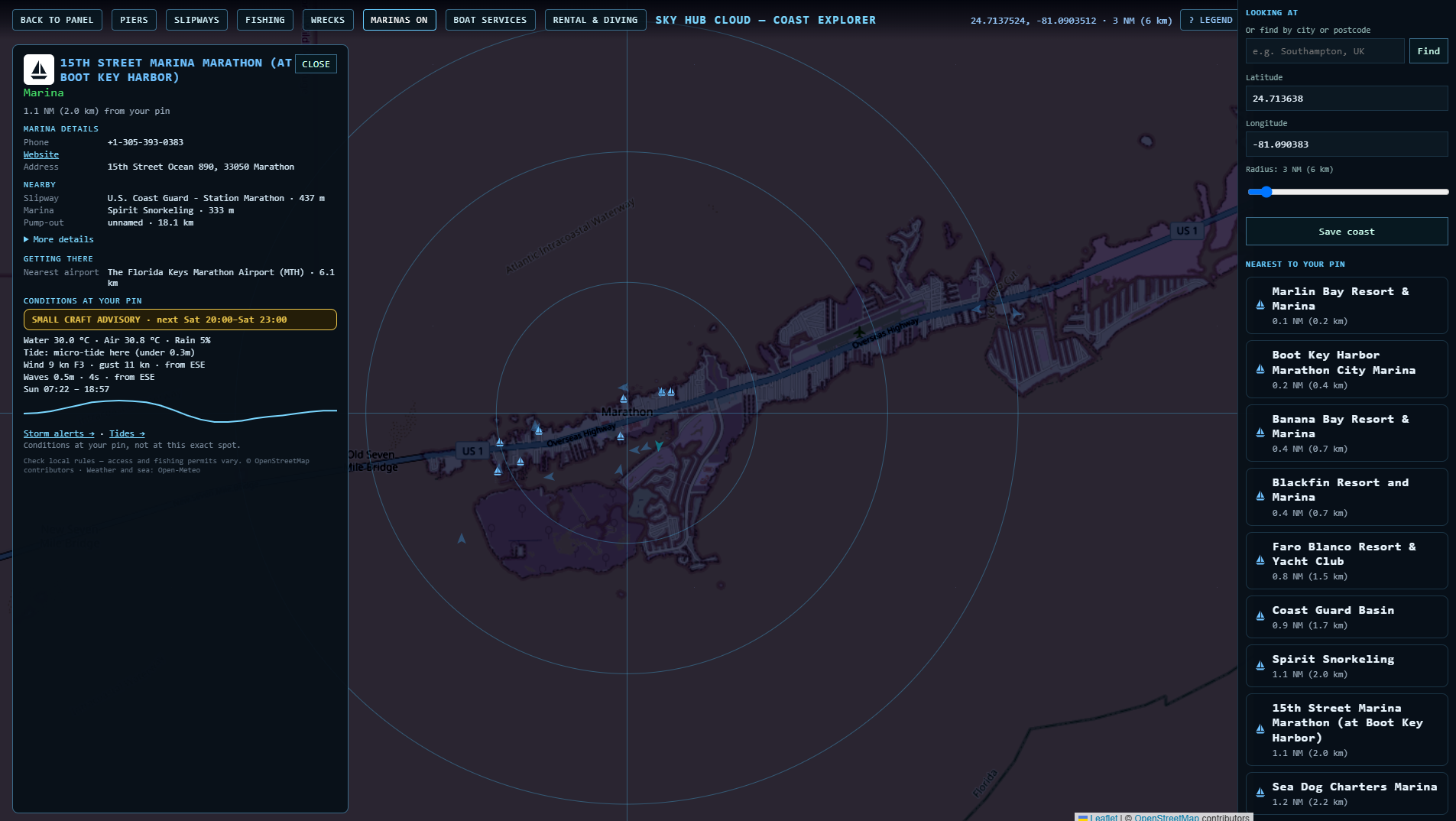
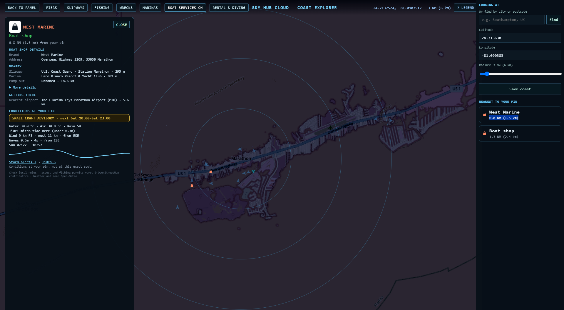
Marathon’s public ramps on our map are the City of Marathon 33rd Street Boat Ramp and North Marathon Shores Public Boat Ramp.
Which wrecks can you dive in the Florida Keys?
Two well-known wrecks are on our map as dive sites: the Spiegel Grove off Key Largo and the USNS General Hoyt S. Vandenberg off Key West.
What does the card show?
Every place opens a card on the left with its details from OpenStreetMap (for example courses and nitrox at a dive center, or phone and website at a marina). Under NEARBY it shows the nearest boat ramp, boat fuel, tackle shop and marina, under GETTING THERE the nearest airport, and last the conditions at your pin: storm alerts, water and air temperature, wind, waves, tide and sunrise and sunset.
Questions
Are there public boat ramps in the Florida Keys?
Yes. Our map shows public ramps from Key Largo to Key West; see the table above.
Is there a boat ramp in Key Largo?
Yes: Sunset Point Park Public Boat Ramp, the ramp at John Pennekamp Coral Reef State Park and Caribbean Club Pay Ramp.
Where is the 33rd Street boat ramp in Marathon?
It is on our map as the City of Marathon 33rd Street Boat Ramp.
Is there a mile marker 54 boat ramp?
Yes. Crawl Key (Mile Marker 54) Public Boat Ramp is on our map, and so is Shark Key Wayside Park Public Boat Ramp (Mile Marker 11).
Where can I dive in Key Largo?
Around John Pennekamp there are Rainbow Reef, Sundiver, Scuba-Fun, Scuba Tech and Sail Fish Scuba, plus Molasses Reef and the Spiegel Grove wreck.
Is everything on the map public?
No. The data come from OpenStreetMap and include private docks and marinas. Always check access and fees on site.
Does Coast Explorer show fishing rules?
No. Check Florida fishing licenses and protected zones in official sources before you fish.
Can I check if a boat ramp is closed today?
Members report closures and changes in one tap, and other members confirm them, so the place card shows what boaters saw recently. Always check on site.
Place data © OpenStreetMap contributors. Weather and sea: Open-Meteo. Not for navigation.
Also on Coast Explorer: Gold Coast → · Sydney → · Malta → · Spain →